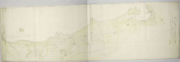
Kaart van de westkust tussen Saldanhabaai en Tafelbaai
J.C. Friderici
RP-T-1914-17-6
About this artwork
Similar artworks
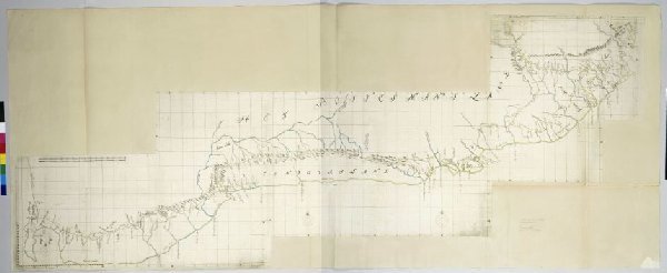
Map of the South Coast of the Cape from Table Bay to the Great Kei River.
Unknown Artist
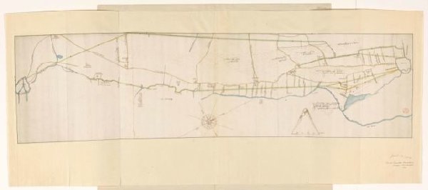
Plankaart voor de aanleg van een trekvaart tussen Leiden en Haarlem, juli 1640
Unknown Artist
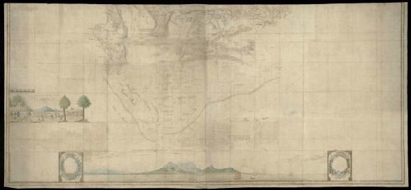
Lower (southern) half of Gordon's great map of Southern Africa
Unknown Artist
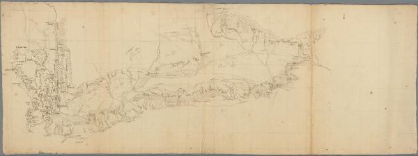
Getekende kaart van de Kaapkolonie
anonymous
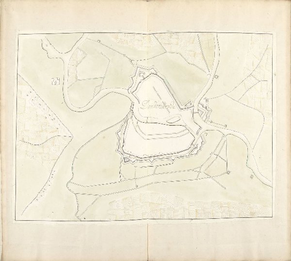
Plattegrond van Dendermonde, ca. 1701-1715
Samuel Du Ry de Champdoré
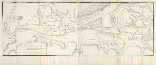
Plattegrond van Trier, 1705
Samuel Du Ry de Champdoré
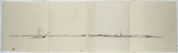
Gezicht op Cochin
Jan Brandes
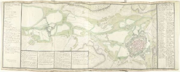
Kaart van Mons en Saint-Ghislain en omgeving, ca. 1709
Samuel Du Ry de Champdoré
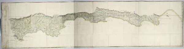
Map of the south coast of South Africa between Cape Agulhas and the Sundays River
Unknown Artist
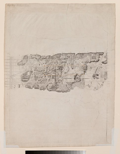
Topographical Map of the City and County of New-York and the Adjacent Country
Cartographer David H. Burr, J. H. Colton & Co.
Enkele zeilschepen en kleinere boten in een haven
Joris Hoefnagel
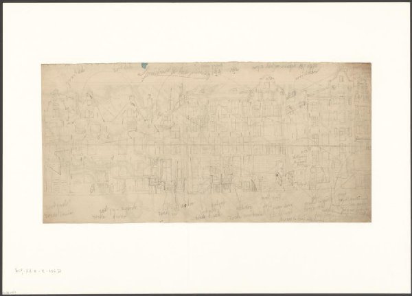
Gezicht op de Spuistraat 154-168 bij de Korte Huiszittensteeg
Johan Martinus Anthon Rieke