Loading…
Zoom isn't available for this image right now.
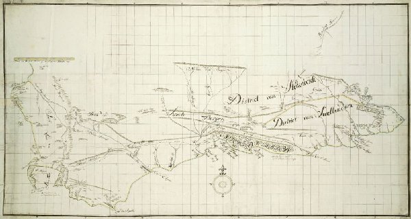
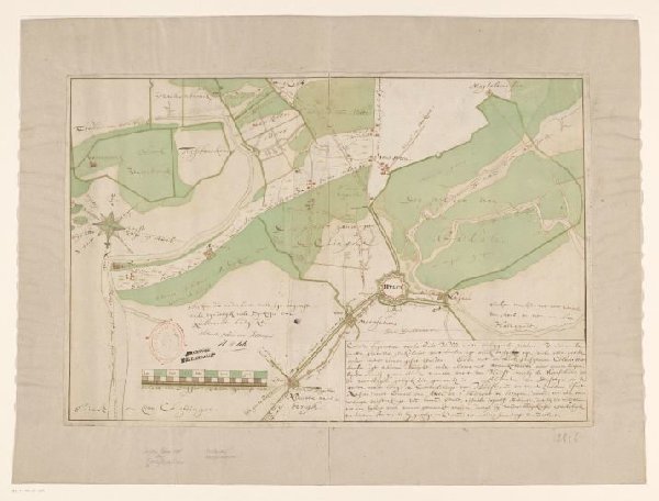
Map of the Southern part of the Cape from St Helena Bay to the Great Fish River
Unknown Artist
1777 - 1786
Map
Topographical view
Drawing
RP-T-1914-17-13
About this artwork
Similar artworks
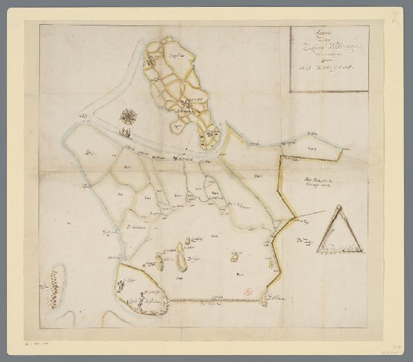
Kaart van het eiland Wieringen en omliggende gebieden
anonymous
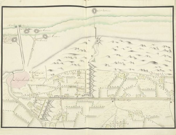
Plattegrond van de schansen ten noorden van Duinkerke, ca. 1701-1715
Samuel Du Ry de Champdoré
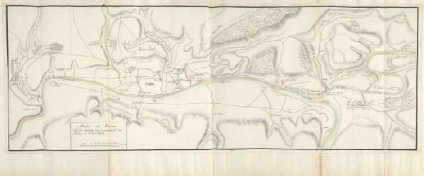
Plattegrond van Trier, 1705
Samuel Du Ry de Champdoré
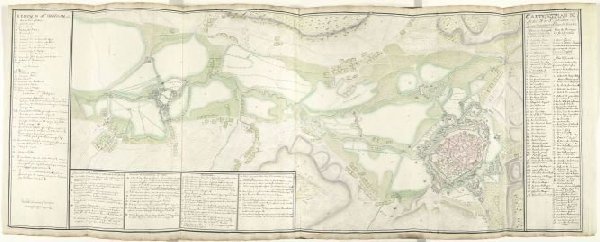
Kaart van Mons en Saint-Ghislain en omgeving, ca. 1709
Samuel Du Ry de Champdoré
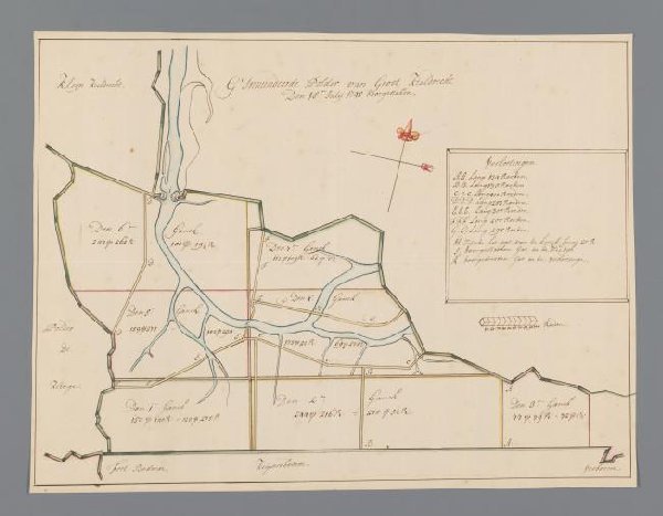
Kaart van de polder bij Kieldrecht
anonymous
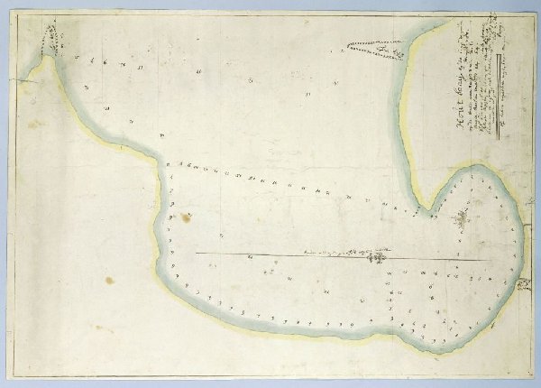
Map of Hout Bay
Robert Jacob Gordon
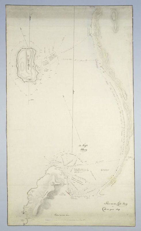
Map of Table Bay and Robben Island
Unknown Artist
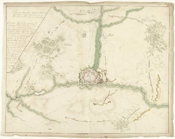
Beleg van Ath, 1706
Samuel Du Ry de Champdoré
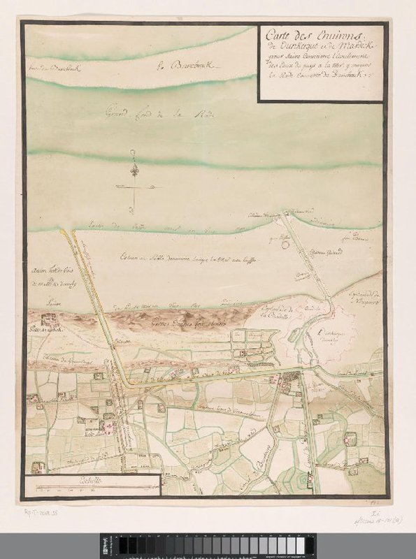
Kaart met de kanalen van Duinkerke
anonymous
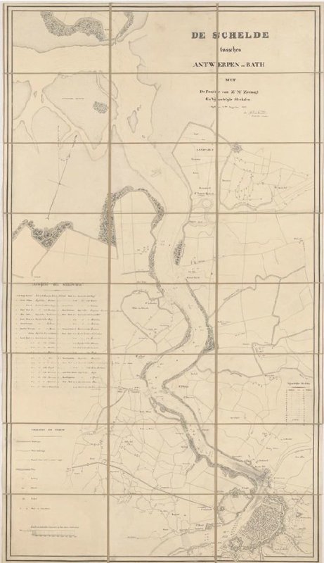
Kaart van de Schelde, 1831
H.A. van Karnebeek
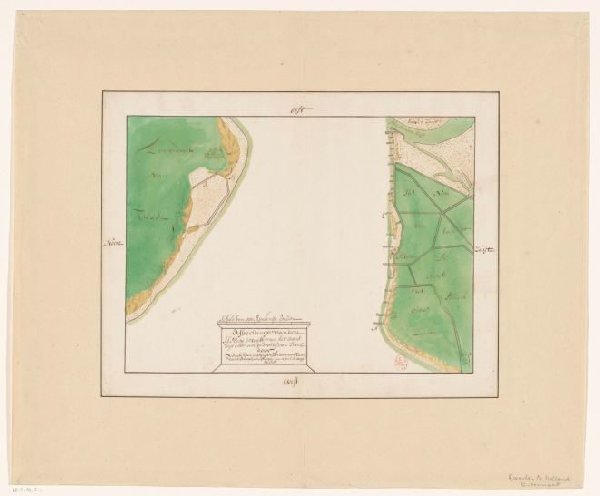
Kaart van Den Helder en een deel van Texel met het tussenliggende Marsdiep
anonymous
Kaart van Hulst en omliggende polders
anonymous